The OutLan Channel

Hiking, Camping, Backpacking, Gear


Leave a comment

I am Back!!!

It has been a long time–over three years to be exact–since I last created a post on this site. Many things have changed in that time, and I’m excited to share some of that with all of you.

In August of last year, my family and I moved into a new home we had built over the summer. We had been discussing it for years, and with the size of the family we just needed more room. It was a hectic and crazy time, and I unfortunately didn’t get to the opportunity to do much backpacking throughout the course of 2019. Videos on the channel were few and far between. But, I did manage to slip in an epic trip to Colorado unlike anything I’ll probably be doing anytime in the near future. To see the four-part series, hop over to my YouTube channel.

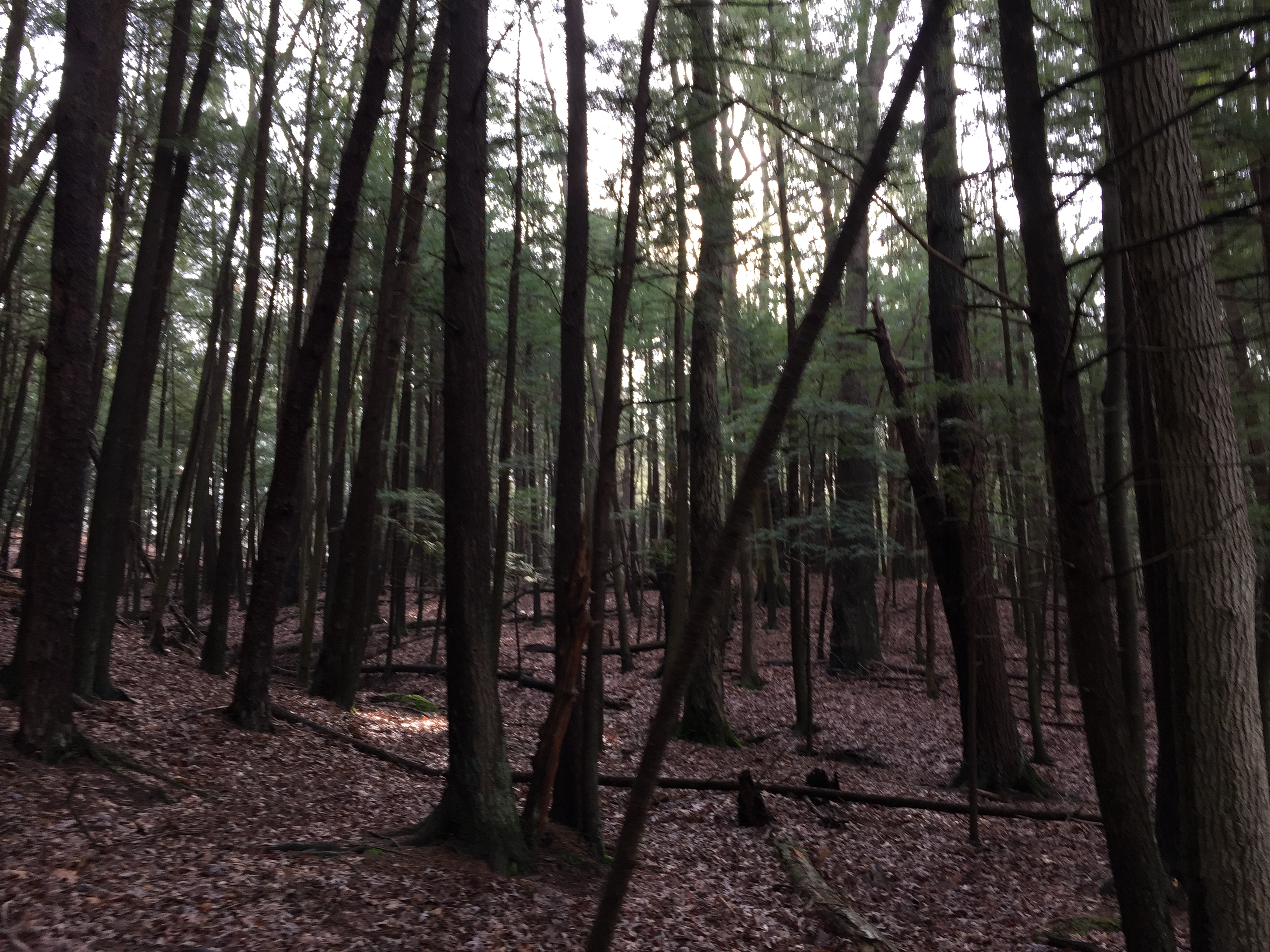
The new house is amazing, with more than enough space for me to create videos. In fact, with permission from the wife I have constructed a glorious YouTube studio in the basement, complete with 3 point lighting, a green screen, and more. This will be my primary indoor filming location when I absolutely can’t get outside (which is about five to six months out of the year here in Ohio). For outside filming, I have a beautiful back yard with woods for all of my filming needs. While I still would love to have acres and acres of wooded land, this is about as close to my dream as I can get until retirement.

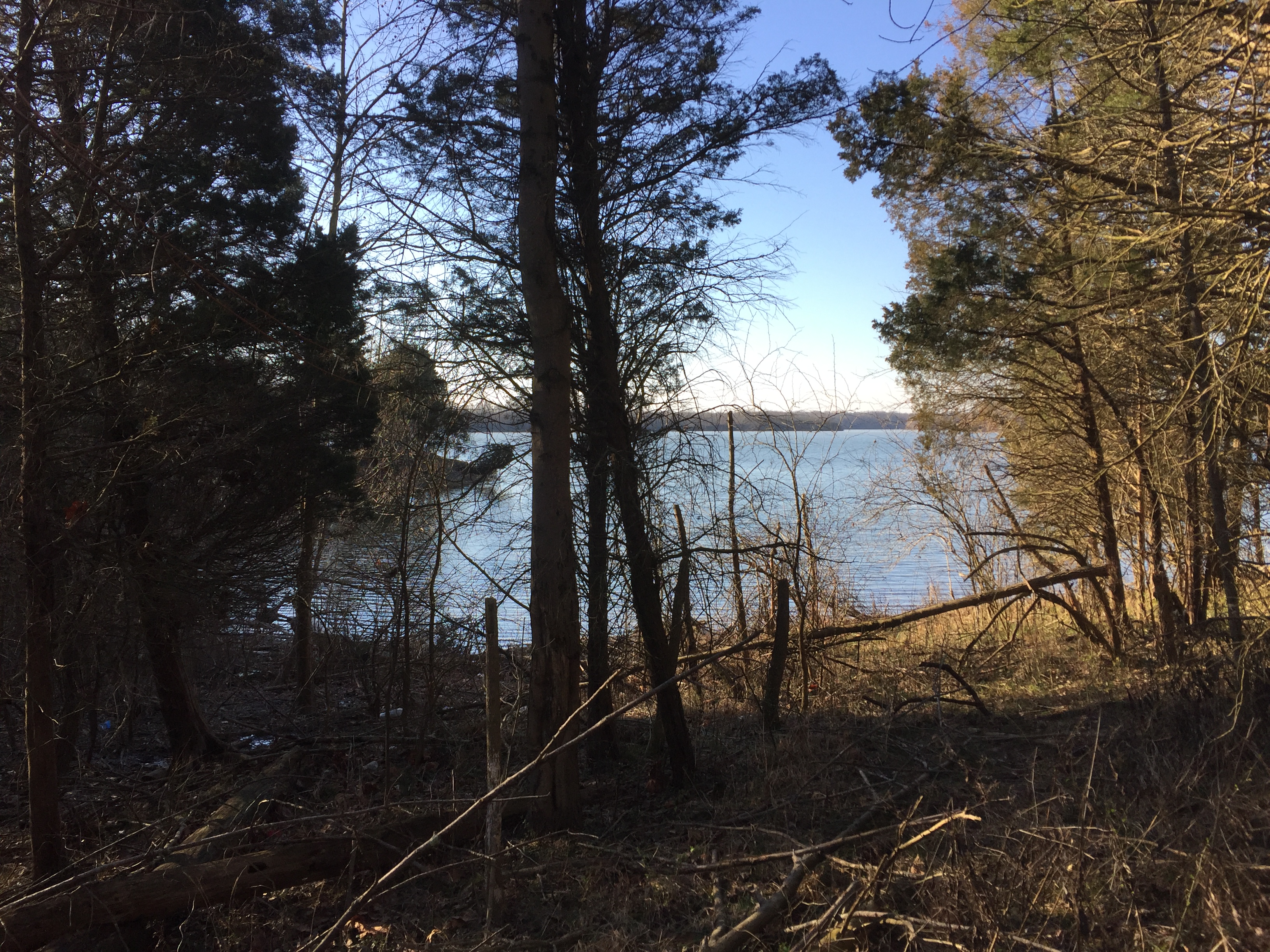
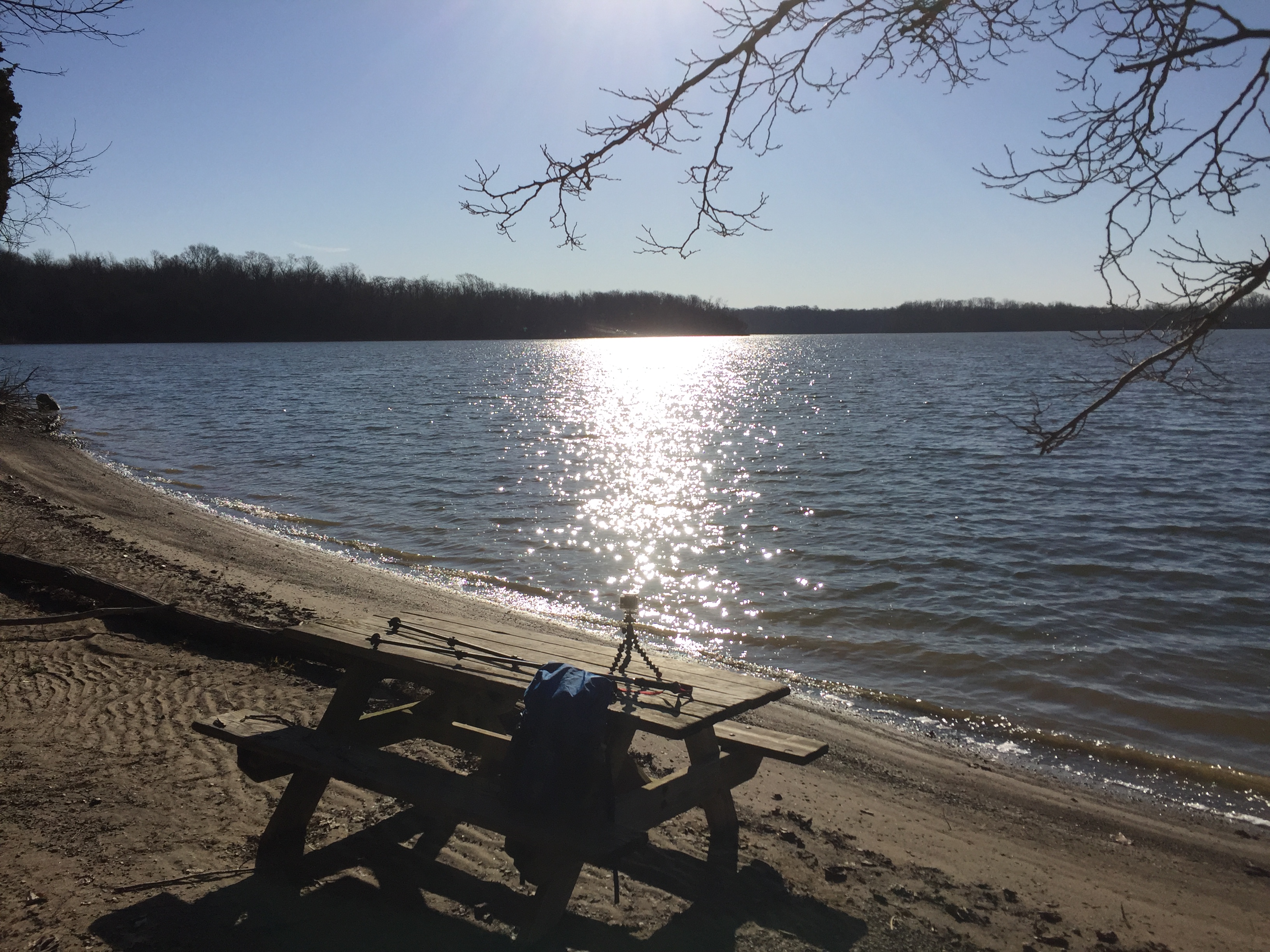
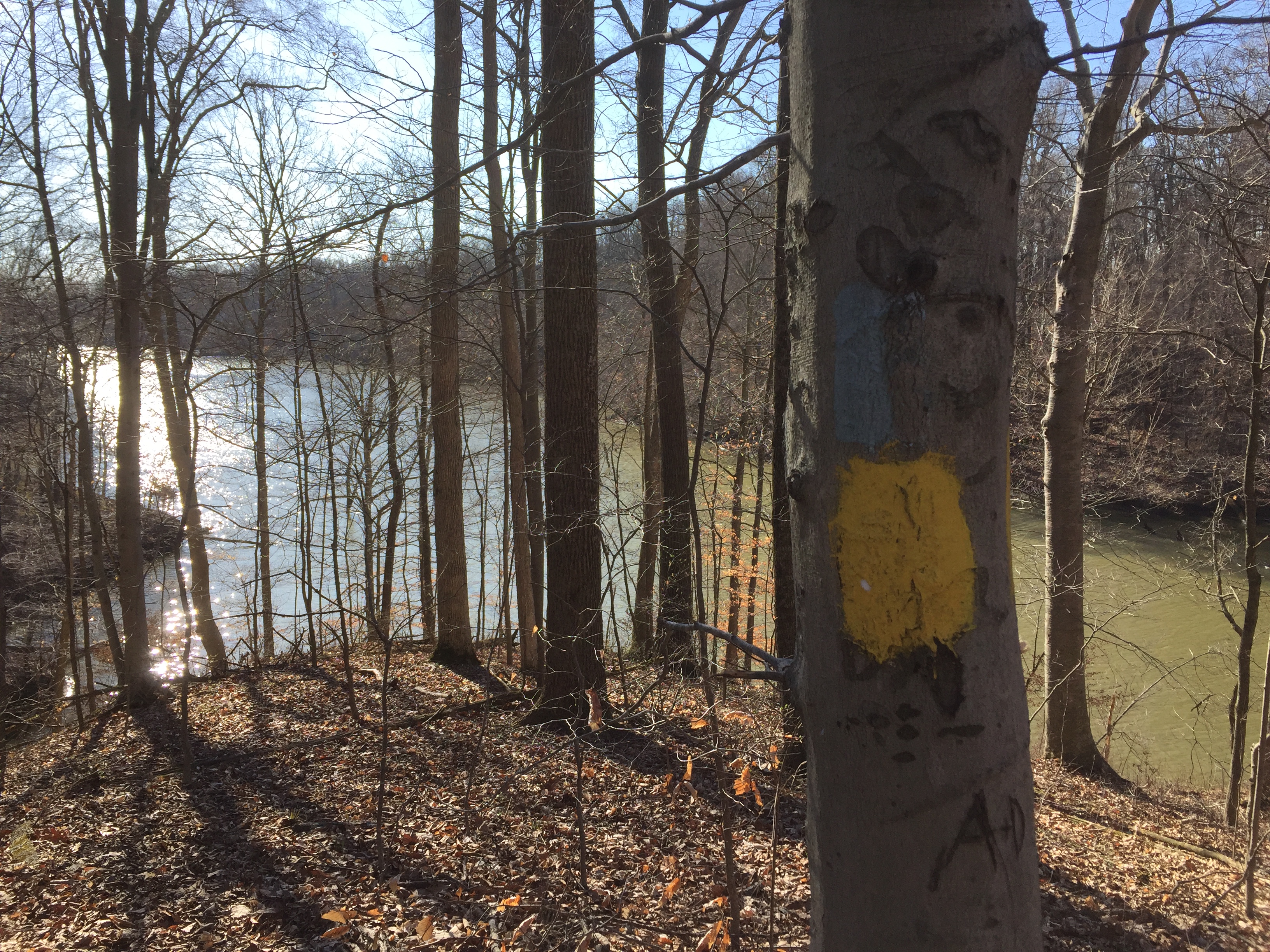
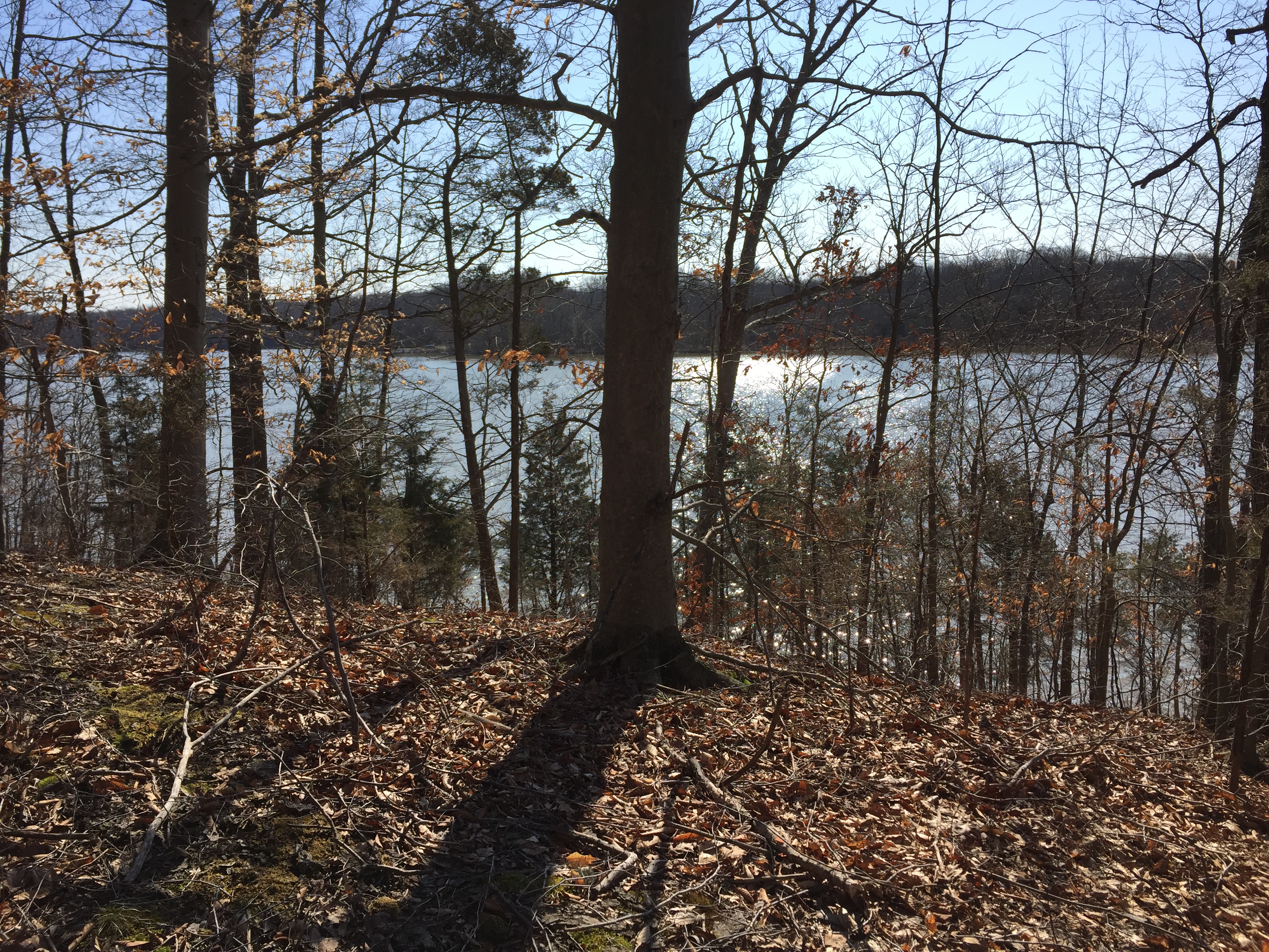
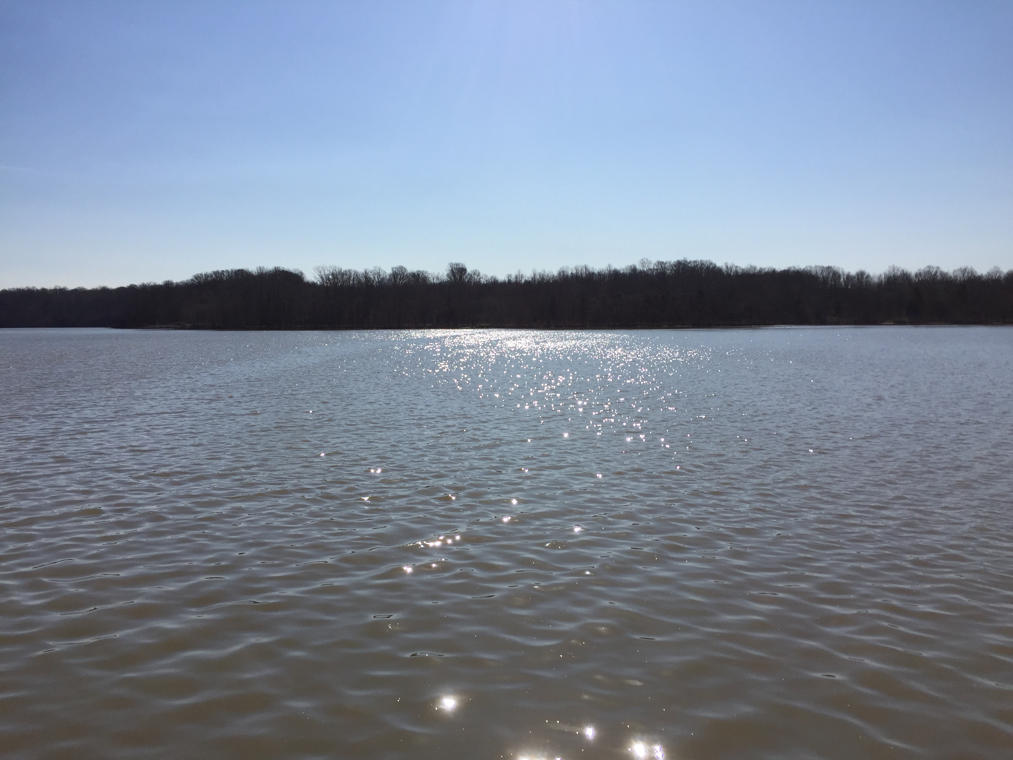
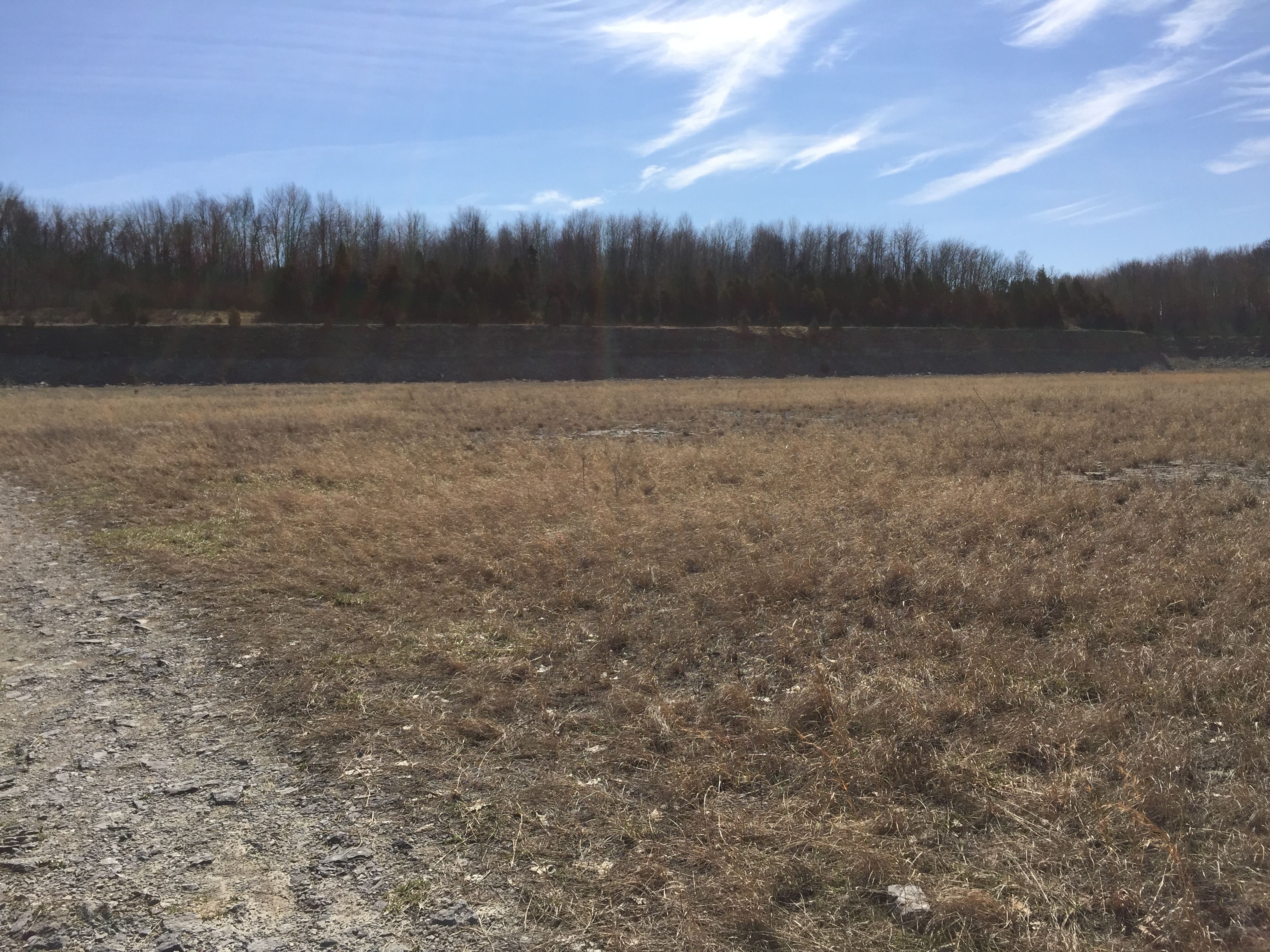
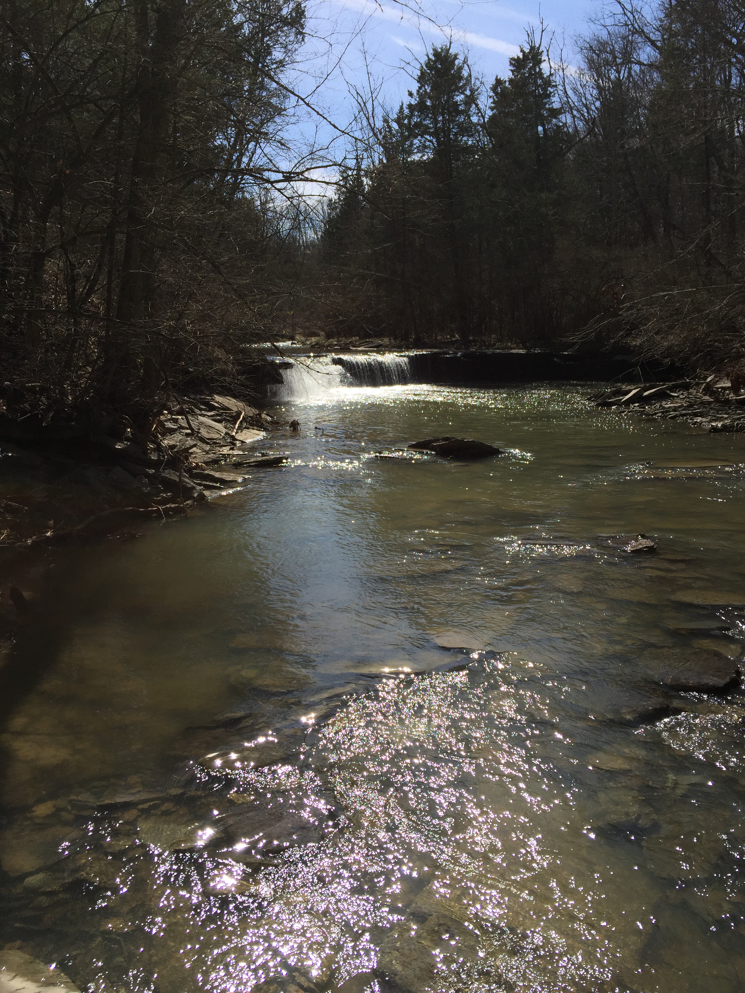
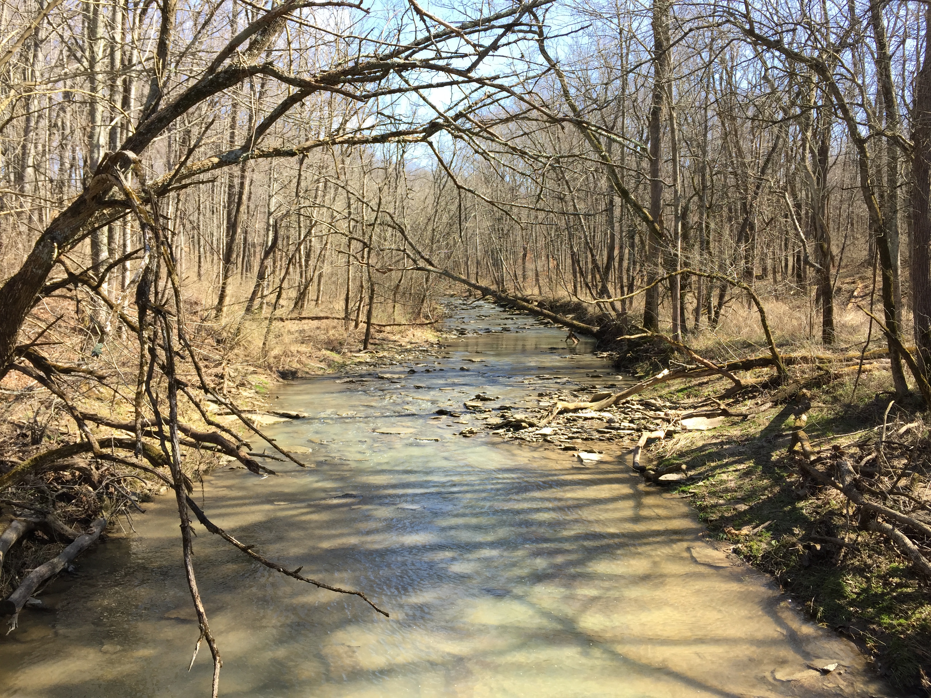
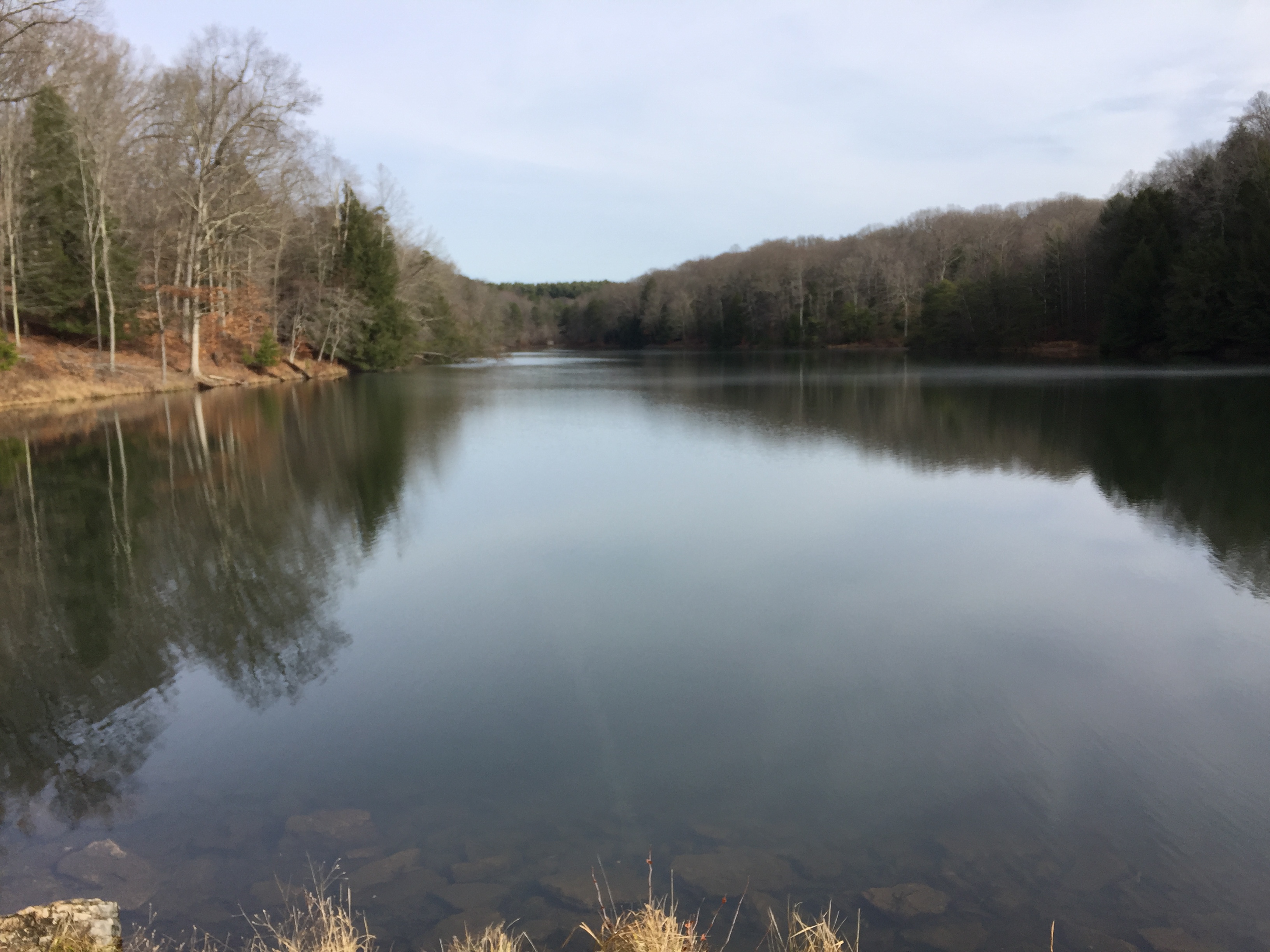
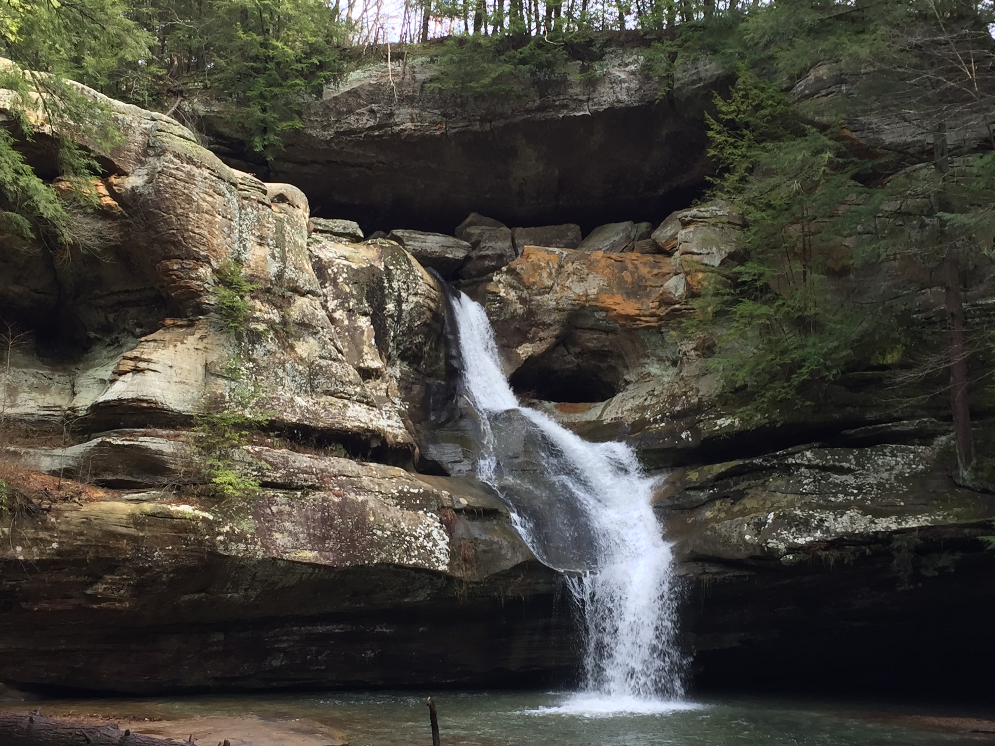
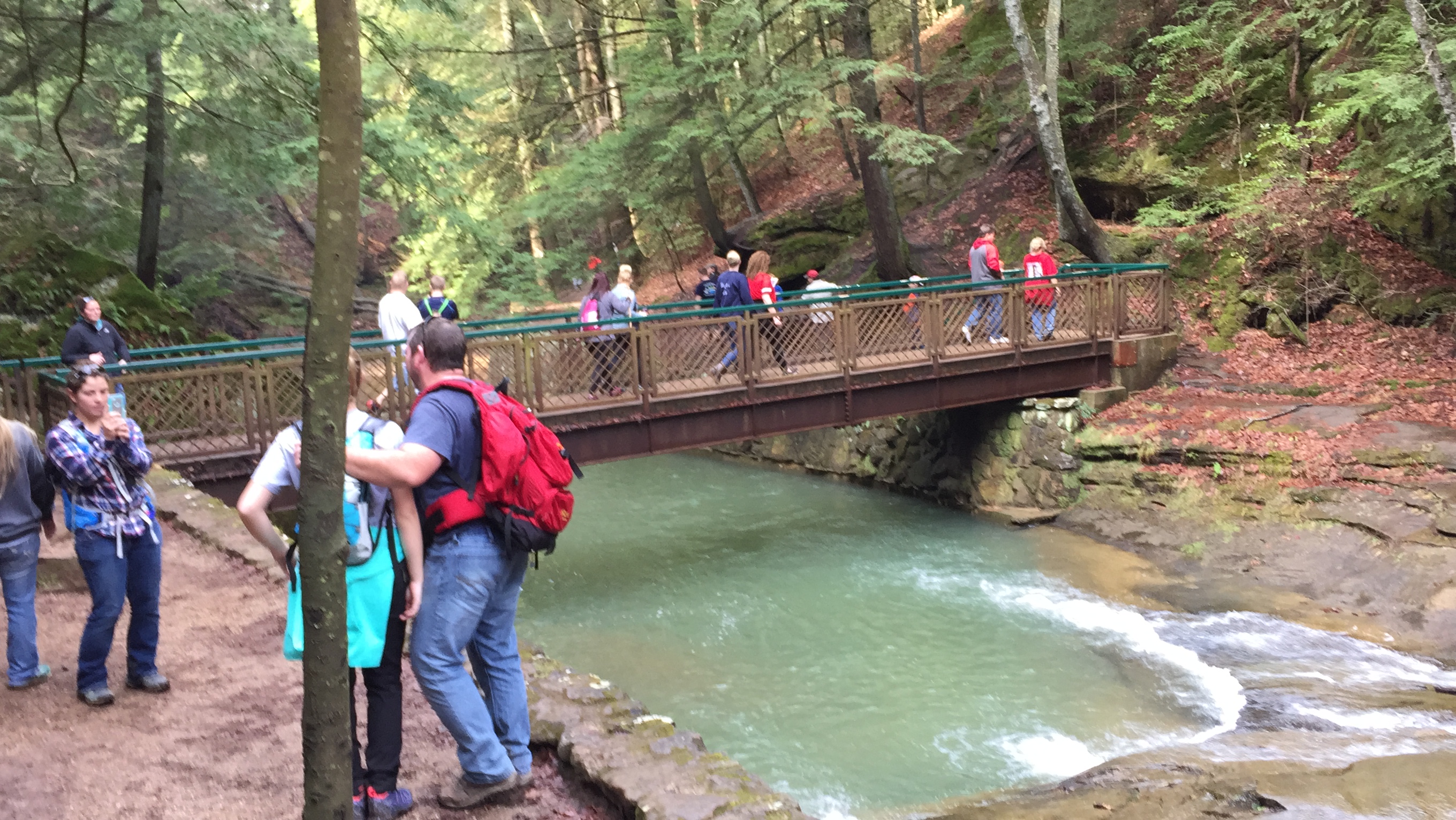
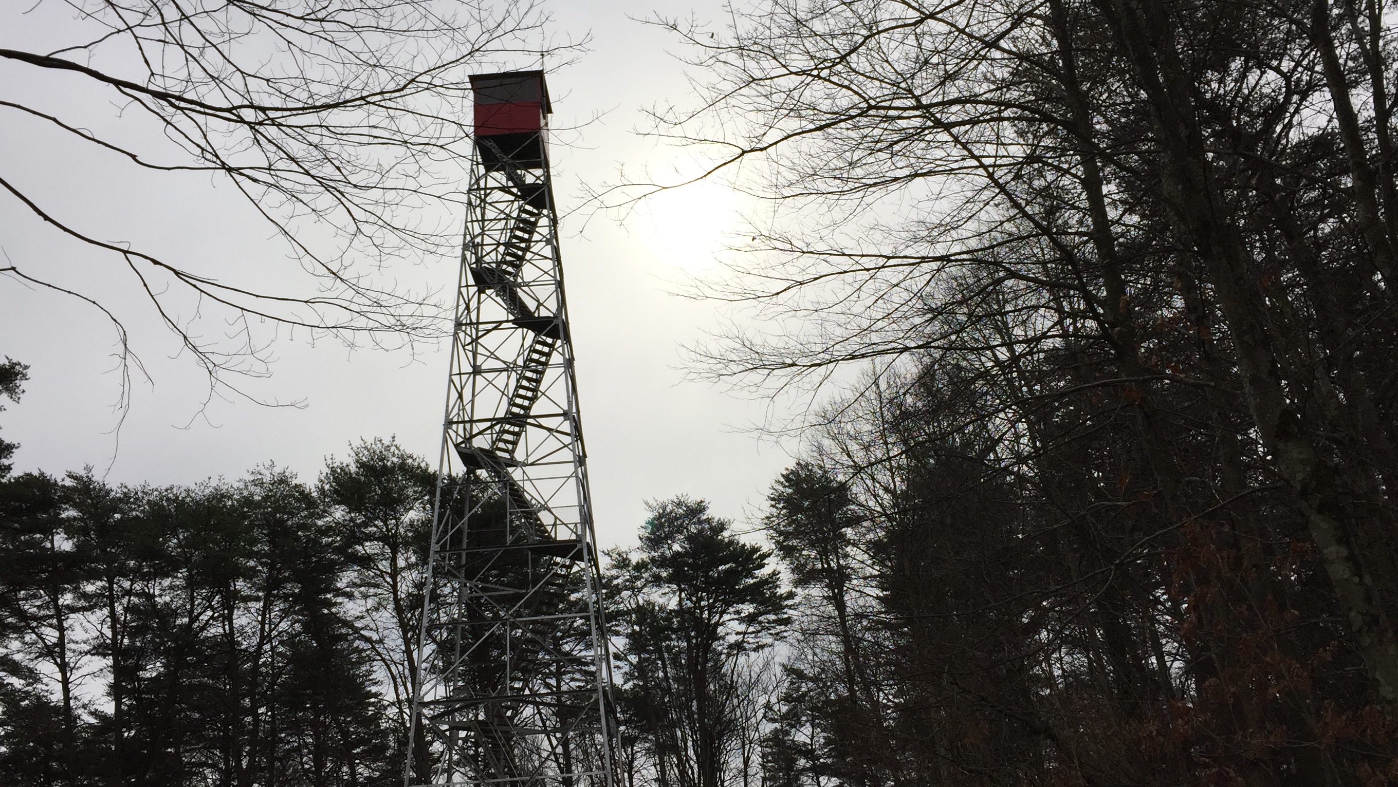
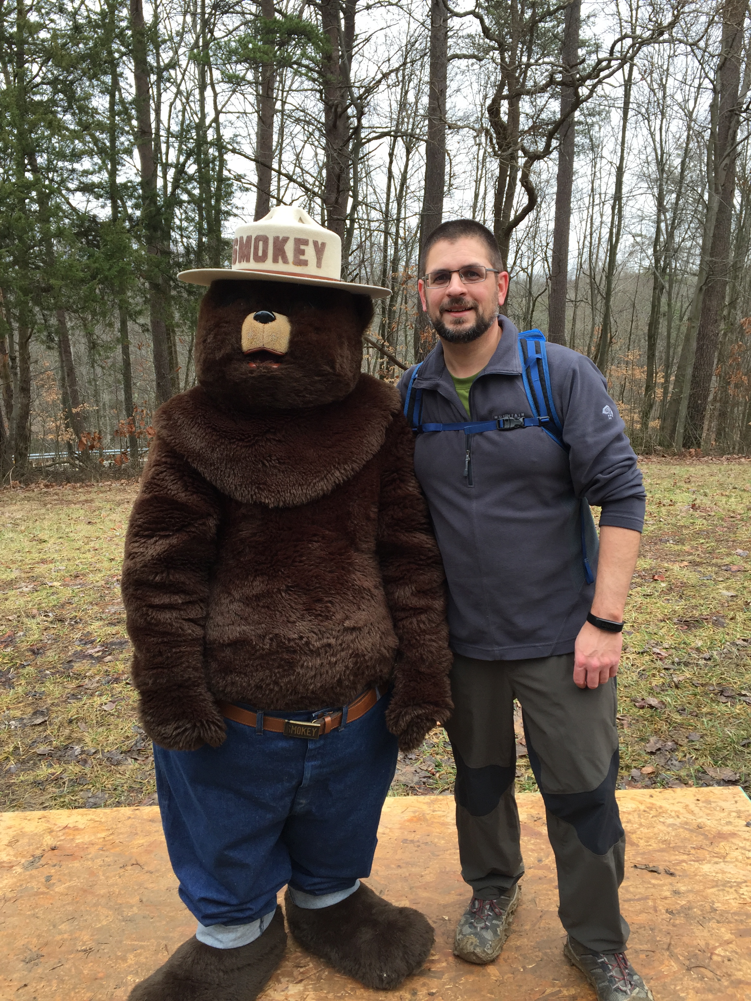
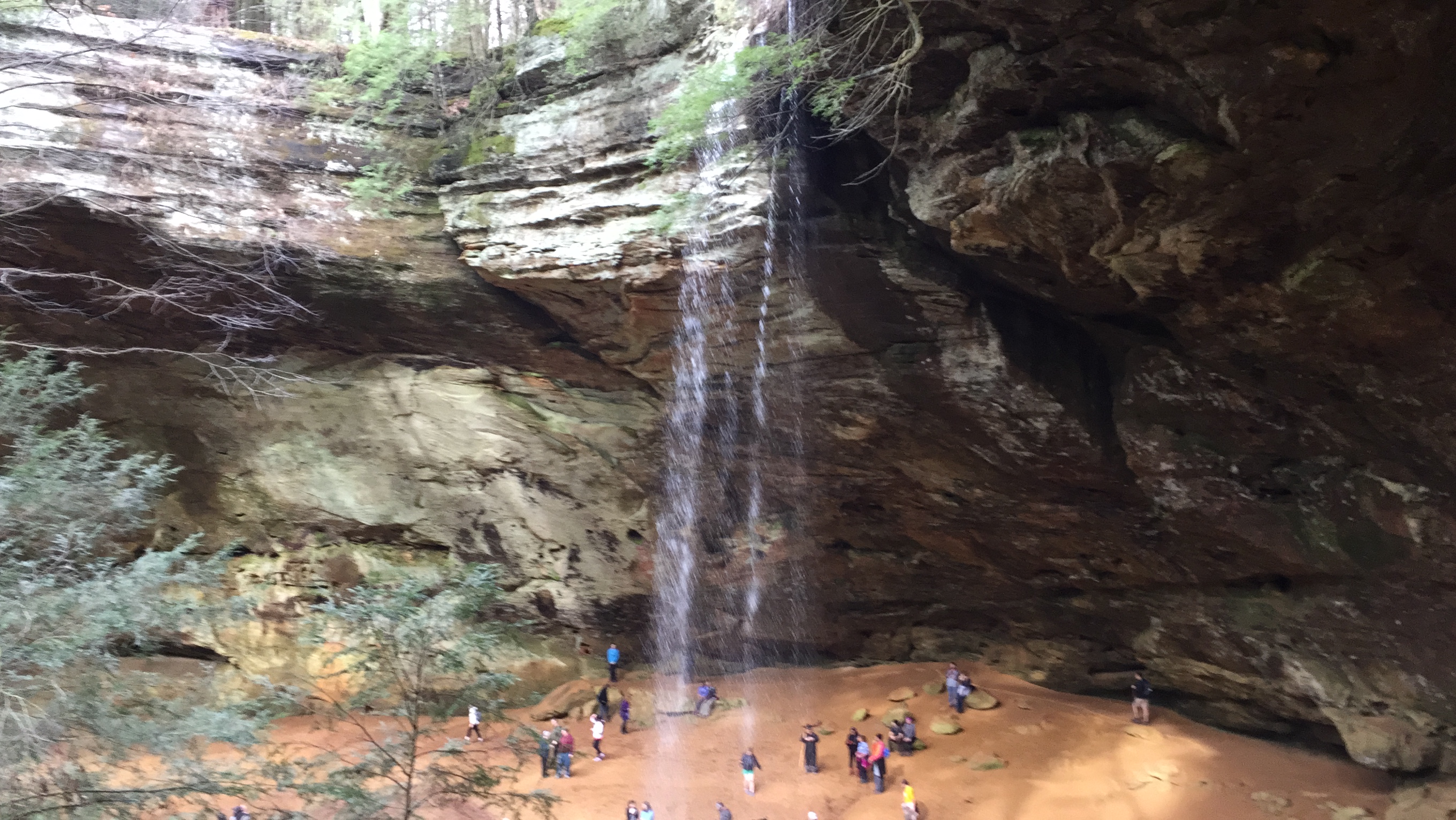
Jump to winter of 2020. I had big plans for being outdoors, including another trip to Colorado and multiple backpacking trips. Then, the COVID pandemic hit, and everything got thrown out the window. After a fun but cold (and short-on-backpacking) trip to Oil Creek in Pennsylvania, I spent the remaining months of spring socially distancing in isolation. I was finally able to get back outside again in May with a trip to Lake Vesuvius. I don’t think it ever felt so good to be outside. Nothing stinks more than being forcibly stuck inside when it’s beautiful out. Fortunately (or unfortunately), it was a crummy spring with tons of rain and extremely below normal temperatures. Now that we are in early June, the weather is finally starting to act more like it should.

So, what else have I been doing to keep myself busy during the quarantine? Well, I got back into biking, for one. The wife and I replaced our boys’ cheap WalMart bikes and bought them some very nice Jamis Trail XR’s. These bikes are nice. I quickly realized, in order to be able to ride with them, I’d have to update my 25-year-old Trek. I found a fantastic deal on a used Cannondale and it has become my pet project while being locked inside all spring. I’ve parted out much of the bike and turned it into more of the touring/bikepacking rig I’ve always wanted. It’s still a work in progress, but it’s coming along nicely. Now, just to get out for a bike packing trip (soon)!

As far as other new gear for 2020, the biggest piece of “backpacking” gear I acquired was a new camera for the channel. I am now rocking the Canon M50, and have to say, I love this camera! The vids on the channel are so crisp and cinematic now, and with the 22mm “pancake” lens I am using I’m able to get that beautiful depth-of-field bokeh effect I’ve always wanted. Goodbye, GoPro!

I did also replace a piece of my “big three” with a Burrow Econ top quilt from Hammock Gear. Finally, I have a quality down top quilt instead of a ridiculously heavy and bulky synthetic bag. This is a game changer. I plan to invest in a UGQ zero-degree quilt as we get into the cooler months again.

So, what are my plans for the rest of the year? Well, I really don’t know. I am planning a backpacking trip to Seneca Rocks/Spruce Knob in West Virginia (a place I’ve always wanted to go). Beyond that, who knows. With the pandemic still alive and kicking, it’s really hard to tell what will be acceptable and just how far I can travel. I would absolutely love to get up to Pictured Rocks in Michigan in the fall, but only time will tell if that can happen. And, my trip to Colorado? Well, that will have to wait until at least next year.

Stay tuned to my Facebook site, YouTube channel, Instagram, and this site to keep up with all of my info…


2 Comments

A Hiker Who’ll Become a Runner for a Day

LAST UPDATE: I finished the race! I did it. I completed in 3:00:19, which was definitely not my target, but I’ll take it. I started out very strong, but by mile 9 lost some steam and watched the 2:45 pacer whizz past. I kept up through mile 11, and then had extremely painful charlie horses in each of my calves, which forced me to walk the remaining 2.1 miles in. I’m sure the photo of me at the finish is a great one. Still got my finisher medal. Would I do another half? I don’t know…maybe next year, just to beat that three hour time. We’ll see.

UPDATE: I ran my final “long” training run a week ago–one week before the race–10 miles (taper? what taper?). It actually wasn’t bad at all and I felt very confident and happy with my progress. I felt as though I had this Half in the bag. Then, the next day, my hips and knees were hurting badly. I shrugged it off as post-run soreness and figured I’d be fine by Saturday. Well, as I write this, it’s Friday, the race is in the morning, and my right knee is still really hurting. I have a feeling it’s runner’s knee because it feels fine when I’m using it (i.e. running or walking), but at rest or sleeping it hurts pretty badly. Now, I am completely freaking out about the race tomorrow.  How am I going to possibly do 13.1 miles on with this pain? What’s going to happen when I’m finished? The very last thing I want to do is permanently injure myself, but from most things I’ve read I won’t. I know many runners have pushed through the intense pain and gone on to finish their best race. But, everyone is different. Am I making a terrible mistake? Someone pease talk some sense into me or cheer me on. As of right now, I plan to do this thing, whether it’s running or walking it. I’ll let you all know how it goes 🙂

In exactly two weeks, I will be participating in my first-ever half marathon. It’s one of the biggest marathon events around with something like 15,000 participants. It covers some neat (and usually off-limits) areas at the Air Force base right near my home. I am super excited. Unfortunately, I don’t feel in any way ready. I won’t go into the circumstances of how I ended up getting signed up for this race, but it’s something I’ve wanted to do for a few years now. The opportunity came and I decided to do it.

I am NOT a runner. I am a hiker. I have hiked easy trails and difficult ones. I have hiked 26 miles in a single day in the Rocky Mountains. I’ve hiked 13 miles at a local state park in under four hours (including scenery watching, backtracking for a lost piece of gear, and stopping for lunch). Three months ago, I hiked a good sized-chunk of one of the most rugged sections of the Appalachian Trail in Virginia. Some of those extensive hiking trips were back when I was in absolutely terrible shape and had no conditioning. I know distance. I know leg pain. And, I know how to push through it when there’s no other option than to just keep going.

For some reason, though, running 13.1 miles on pavement has me intimidated. Like, really intimidated. That should be much easier than a rocky, steep trail, right?

I have completed races before, including a 5K and a 10K I ran/walked three years ago. I finished both events–one in the top of my age group and the other right in the middle. The problem is, I really don’t enjoy running. I’d much rather walk or hike. I’ve been “training” by walking 2-5 miles every day for the past several months, but I haven’t done any long runs or extensive endurance training for this. Will I regret it? Probably.

I’ve got most of the philosophical stuff down. “No new stuff on race day”. Got it. “Hydrate heavily before, during and after the race”. Got it. “Wear loose-fitting clothes”. Got it. “Be able to run without walking for at least 10 miles”. Ooooh, don’t got it. Walk it? I can do that with my eyes closed. Who said I can’t walk it, anyway? No one.

I think what intimidates me most is the thought of being in a race with other people who treat running like it’s their job. In a 5K or 10K, there are hundreds of other walkers, but in a half or full, it will be mostly runners. I might be surprised, but that remains to be seen. This IS considered a “walker friendly” race, with a finish cutoff of six hours. I intend to come in WAY under that with a goal of three hours or less. I know I can do it, but my body might not. Ha.

I may run this thing. I may walk part of it. I may walk most of it. I’m not doing this race for a PR or to try to prove anything crazy to myself. I’m doing this race to get my finisher medal and prove that this 42-year-old guy can do it. I have nothing to prove and nothing to lose. I  know it’s going to hurt. A lot. But I also know the feeling of crossing the finish line and getting that medal and an ice-cold beer. And, you know what? I can’t wait.

Everyone say a little prayer for me. 🙂


Leave a comment

Day Trip: Cuyahoga Valley National Park

When one thinks of Ohio, he normally doesn’t immediately think “national parks”. That is with good reason, because there are extremely few in the state. That’s why I was blown away when I visited Cuyahoga Valley National Park (or CVNP), near Cleveland.

This national park doesn’t have all the amazing hallmarks that you find in others, but stands strong on its own. With its signature Brandywine Falls, Brandywine Ski Resort, and other areas like the Ledges, this place is pretty cool.

Though we only got to spend about an hour here, we explored the Brandywine Falls area and it was beautiful. This is a powerful and dramatic waterfall that flows into a deep and scenic gorge. The gorge almost feels out of place for this area of Ohio. The water crashes down onto the car-sized rocks and generates huge whitewater, almost reminiscent of West Virginia or North Carolina. We had visited just after very heavy rains, so the water was really rushing.

IMG_8867

The sign at the base of the Brandywine Falls trailhead

IMG_8873

Brandywine Falls

IMG_8896

Brandywine Gorge, with the Inn at Brandywine in the top right

IMG_8899

The view into the gorge from the top of Brandywine Falls

There are some other amazing places within this park that I have read about, such as the Ledges. The Ledges are huge rock outcroppings accessible via nice hiking trails. There are many other waterfalls within the park as well.

I really wish we had at least an entire day to explore this park and do some actual hiking. But, now I have an excuse to come back. I would love to see it in the middle of summer with everything green and lush.

If you are ever in northeastern Ohio and get the chance, make a visit to CVNP. It’s an oasis of nature very near major metro areas. It’s worth making the stop to Brandywine Falls even if your time is limited.


Leave a comment

Caesar Creek State Park – Perimeter Loop

Not every adventure has to be planned out months in advance. Sometimes, the most spontaneous can be the most rewarding. In my case, it was an impromptu decision to go for a day hike on a warm late-winter day to a local state park. It was a great decision. The trail was both a challenge and scenic adventure that I may have never known about had I stayed home on the couch.

On this sunny Sunday in early March, I decided at last to hike the Perimeter Loop Trail at Caesar Creek State Park in southwest Ohio. I had been wanting to do this for years. The loop is roughly 12 miles and travels the circumference of the western half of a small man-made lake (the flooded Caesar Creek). The trail traverses the lake shore, deeply wooded ravines, alongside waterfalls, over a suspension bridge, and past ancient fossil beds. The trail can be day-hiked or split up into a backpacking overnight–depending on what the hiker wants to do. The day hike option is definitely doable, but plan for a long day and be sure to bring lunch, snacks, and water. There are many parking areas along the trail, and if you decide you just can’t make it all the way through, you can always have someone come pick you up.

On a recommendation from a friend, I decided to start at the Fifty Springs Picnic Area and do the loop counter-clockwise. This would take me over the road crossing and past the rougher areas of the trail first. From here, the trail immediately starts out north on Route 73, along a busy road and across a bridge. Once over the bridge, the trail descends west down into the woods.

IMG_8535

One of the many lake views on the western side

For the next few miles, the trail is easy/moderate with only minor elevation changes. There are beautiful lake views all along the way. After a couple miles, there is a little spur trail that leads down to a beautiful beach with a picnic table on it. This would be a fantastic place to have lunch. For me, though, it was much too early to think about stopping. I still paused for a quick photo opp and to shed my first layer. The tranquil sound of the water lapping the shore was very nice and the sun felt warm.

IMG_8544

Beach with picnic table just off the trail

From there, the trail goes through beautiful woods and up and down ravines, including a few stream crossings. This trail is shared with a portion of the Buckeye Trail, so just follow the Blue and Yellow blazes. The trail is mainly single track with a few wider areas in places. Along the way, I dropped my Gorillapod and GoPro into the mud. Not realizing it at the time, I lost one of the legs to the tripod. I was frustrated with myself for a bit, but then realized it was just too beautiful of a day to let it be ruined by that.

IMG_8546

Blue and Yellow Blazes along the western half of the trail

IMG_8547

The trail on the western side

IMG_8549

Views through the trees

IMG_8551

The glistening lake

I hiked on through the woods, up and down through ravines. The trail then dumped me out on a very neat little peninsula where I got another great view of the lake. From there, I stopped at the visitor center to rest and eat my lunch. I stopped in to talk to the rangers to let them know about the tripod leg I lost at point M. I had packed in my stove, titanium pot, and some cheeseburger soup from a company called Camp Chow. If you’ve never had their bacon cheeseburger soup, go order it right now. Feeling refreshed, I scarfed down my soup and pineapple coconut Spark, filled up my water bottles, and headed back down the trail.

From here, it was more road walking across the dam and spillway, and then past a parking lot and back into the woods. The next section of the trail is amazing. The trail opens up into the spillway/fossil collecting area. It is wide open for several hundred yards and very neat. Here, hikers can walk right up to the rock walls and observe the fossils in the rocks. In these rocks are millions (billions?) of Ordivician-period fossils, including Horn Coral, Crinoids, Brachiopods, and the Holy Grail of fossils in this area, Trilobites. In fact, the largest Trilobite in the Western Hemisphere was found here, measuring over a foot in length. This area is right off the road so there are a lot of people just here rock hounding. Fossils may be collected with a free permit from the office. Don’t collect anything without a permit here, though, unless you want to be fined.

IMG_8553

The fossil-filled cliffs in the spillway

The trail then ascends steeply to the right up the side of a huge hill. You will see the blaze on a tree half-way up to affirm this is the right way. I can compare this brief single track section to some places I’ve hiked in West Virginia. It’s breathtaking in more ways than one.

The next mile or so was my favorite part of the entire hike. The trail traverses cliff tops, and, from the top, there is a great view of Horseshoe Falls. The falls can actually be heard from quite a distance away. A few yards further is the brand new suspension bridge that crosses the creek. This bridge is so much fun and reminiscent of those found in much more remote areas. I actually had to pause for a moment and remind myself that I was in Southwest Ohio.

IMG_8560

Horseshoe Falls

Past the falls, the trail continues back up into the woods with some nice lake views and flat terrain. Beware of mud along this section, as it is plentiful here. The trail passes through the pioneer village, a historical wonder and very neat place. This location has pioneer-era recreations and festivals, including a Maple festival.

The trail twists and turns through the woods, but mainly remaining steady and flat. It even crosses an old service road for a few hundred feet. It then continues on past a few other, smaller waterfalls, and passer over the top of Crawdad Falls–an unspectacular but pretty falls.

IMG_8566

Crawdad Falls

IMG_8567

The trail then wraps around the woods and back through the Fifty Springs picnic area, where my journey came to an end and my Jeep was waiting. I was both relieved and a bit sad that the hike was over.

In an area of Ohio that does not really stand out for its outdoor offerings, Caeser Creek State Park and lake delivers. The lake itself is perfect for boaters, fishermen, swimmers, etc. The trails are long enough and have enough diversity to satisfy most hikers. Rock hounds and fossil lovers will be giddy in the fossil beds. And, history buffs will love the pioneer village. There is a little bit of something for everyone, here. If you’re in the area, make sure you check out Caeser Creek. If you have the day and like to hike, be sure to do the Perimeter Trail!

Sunrise


Leave a comment

The 2017 Great Miami Outfitters “Frozen Butt Hang”

There are many things I love in life. One of those is hammock camping. Another is hanging out with good friends. This was our second “Frozen Butt Hang” for myself and my friends Joe and Robb–two longtime friends of mine who also love the outdoors. While it turned out to not be very frozen, we had a fantastic time.

The frozen butt hang is put on each year by Great Miami Outfitters (http://greatmiamioutfitters.com), a local camping/outdoor store located in Miamisburg, Ohio. GMO is one of my absolute favorite places to shop, as they easily rival (or even exceed) big-box stores like REI and Cabela’s. The owner and employees are great people, and they do a great job putting on this event. 2017 was the seventh annual occurrence of this event, and my second.

We started out the adventure with a great lunch and some brews at a local establishment called Mudlick Tap House. This little brewpub has some of the best food and beer around, and it’s only a few miles from the park. After a few craft beers and soup/sandwiches, we were on our way to Germantown Metropark–specifically, Shimp’s Hollow group campsite–to begin our adventure.

Germantown Metropark is a fantastic and wild little spot located in Southwestern Ohio. Here, there are giant, old-growth forests, a rushing creek, and steep hillsides. There is also lots of local wildlife, like squirrels, turkeys, Great Horned owls, bobcats, even coyotes. The park has several miles of trails ranging from very easy to difficult. The Twin Valley Trail (or TVT) goes through the heart of the park, where I traverse several sections of it each summer during the TVT Challenge.

The group campsite is the perfect place to have a group hang. There are literally hundreds of anchor points to choose from. We set up camp on a ridgetop. With all the leaves down we had a great view of the surrounding rugged terrain. We each had our own unique hammock setup and we had to compare and talk gear. Robb had a Hammock Bliss and ENO tarp, Joe had a ENO Doublenest and tarp, and I had my Hennessy Expedition Asym with deluxe tarp. Robb was excited to try out his new whoopie slings and Dutchware straps and hardware. My Hennessy is a great old standby, but I’ve had it for a while and would like to upgrade, maybe to a Dream Hammock or Warbonnet Blackbird. For now, that’s just a dream until I get ahead financially. I realized lately I’ve spent way too much modding my Jeep. Maybe I should pick one or two hobbies instead of ten. Ha ha.

Robb being himself

Robb being himself

Just hanging out

Just hanging out

img_8167

My hammock rig with some Dutchware bling

Dinner was an amazing assortment of potluck food. There were meatballs, pizza pockets, even Pad Thai. I am always so impressed with how good some people can cook at camp. I typically stick to Mountain House meals on the trail or hot dogs when car camping. To have this much selection of great food was a real treat. The assortment of side dishes and desserts was also expansive. No one went to bed hungry that night.

After dinner, the boys and I did short night hike out to a backcountry campsite. I haven’t done that much night hiking in the past, and am now convinced it’s something I need to do a lot more. To be out on the trail with just a headlamp and the light of the moon is ethereal and exhilarating. It’s an entirely different experience. The senses become a lot more heightened, and every little sound and movement is enhanced. We walked past a bush full of birds and I think all of us jumped just a little bit.

In contrast to last year’s campout, where it bottomed out at 7º F, this year it only got down to 29º, and was 38º by the time we woke. There was no snow or ice, just some blustery winds that blew through. Unfortunately, I made the mistake of going to bed with cold feet, which meant the rest of my body was cold. I ended up wrapping my down jacket around my feet to get myself warmed up, and finally drifted off to sleep.

img_8190

The morning temperature from inside my hammock

img_1027

I really didn’t want to get out

Sunrise

Sunrise on top of the ridge

Morning was beautiful, with a gorgeous sunrise over the ridge. It was clear and beautiful. Joe brewed some amazing pour-over coffee with his Jetboil stove. We slowly tore down our rigs as we sipped the delicious brew and talked gear, the outdoors, and life in general. Then, we all went our separate ways–back to our families. It was a short adventure, but an adventure nonetheless. If it’s 24 hours or two weeks, make sure you take the time to get outside and live.


1 Comment

Unfrozen – The 52nd Annual Hocking Hills Winter Hike

In its 52 year history, the annual Hocking Hills Winter Hike has never had a high of 63 degrees—that is, until this year. Shattering 1998’s record of 58 degrees, there were no icicles or frozen waterfalls or snow this time. In actuality, people were hiking in T-shirts and shorts.

The Hocking Hills Winter Hike (or “HHWH”) is a southeastern Ohio tradition in which thousands of hikers–from recreational to professional–descend upon the Hocking Hills region to see the frozen caves, waterfalls, streams, and hillsides. Hikers can choose to just do the first half mile or so, or the full length of the hike which totals over seven miles. Some brave souls even did the out-and-back twice, bringing their hike totals to over 14. It is always an enjoyable time, and I have now hiked it in extreme cold and unseasonable warmth. There are so many beautiful aspects to the area that it doesn’t matter if the weather isn’t holding up its part of the bargain. There is just too much beauty here to not make one excited about the outdoors.

On this balmy and foggy Saturday morning, my wife and I arrived around 9:00 a.m. and were directed to the Hocking Hills Dining Lodge parking area. Unfortunately, the lodge was destroyed by a fire in December 2016 and all that is left are the charred remains of a once-beautiful structure. From there, we took a shuttle bus to the Old Man’s Cave trail head, where we began the hike down into the gorge. The temperature was in the 40’s. A gentle mist came from out of the gorge floor. The crowd was much smaller this year, likely due to the fact that many of those who come to the winter hike come solely for the winter scenery which was nowhere to be found this year.

img_8006

The former Hocking Hills Dining Lodge, now in ruins from a fire in December

We hiked through Old Man’s Cave and were surrounded by rushing waterfalls and streams. I had never seen so much moving water through the park before, and it was an entirely different experience. The cliffs were covered with it. We then left Old Man’s Cave to start the hike on the “Granny Gatewood” connector from Old Man’s Cave, to Cedar Falls, and finally to Ash Cave. It’s about a seven mile trip one-way.

As we hiked along, the temperature warmed and the sun shined. We hiked the ridge from the Cave to Rose Lake, which is arguably one of my favorite sections, filled with with huge Pine and Hemlock trees that stay green all year long. The trail skirts along a deep gorge that resembles something more like the Great Smoky Mountains than Ohio. Within the gorge, thee are occasional glimpses of giant boulders and occasional waterfalls. It is such a gratifying hike, despite the massive amount of humanity during this particular event. This part of the trail tends to “thin out the herd” as only the more capable hikers proceed to do the full mileage and not just the half-mile loop through Old Man’s Cave.

“There is just too much beauty here to not make one excited about the outdoors.”

img_7888

The Hemlock-filled ridges along the Granny Gatewood section

We continued on past Rose Lake, a crystal-clear lake surrounded by the rolling hills. At around mile three, we reached Cedar Falls, which is undoubtedly one of the best (if not the best) waterfalls in Ohio. The recent rains gave it a heavier flow than normal. It made a thunderous sound as the water crashed over the rocks.

img_7897

Crystal-clear Rose Lake

img_7918

Cedar Falls

img_7922

The first of two bridges at Cedar Falls

From Cedar Falls, we hiked back up out of another gorge and up several stairs to the annual lunch tradition of bean soup, corn bread, and hot chocolate. By this time, it was about 63 degrees, so none of that really appealed to my wife or I, but we graciously ate it anyway and gave our modest donation to the local Scout troop that provided it. The soup actually is very good, and each year I load it with onions, pepper, and hot sauce to give it some “kick”.

From there, we headed toward Ash Cave for the remaining three miles. This section of the trail took us through some very deep mud, across streams, and past a fire tower. We were greeted by someone in costume dressed as Smoky the Bear. The fire tower section always seems to be the “breaking point” for many of the unconditioned hikers, and where many people both young and old tend to start saying “how much further???”.

img_7969

The fire tower

img_8012

Posing with Smoky the Bear

The final leg of the hike was somewhat exhausting, having to fight mud and hordes of people. Unlike a self-paced hike, pace is determined by the speed of those in front of you. There were many people with dogs, little kids, etc. that tended to slow everyone down. Still, the feeling of camaraderie in a common goal–reaching Ash Cave–was inspiring. it reminds me very much of a race (5K/10K, etc.) where everyone is striving for the finish line at their own pace. Everyone together trying to reach the end.

As we reached Ash Cave, we felt a sense of relief and awe at the rush of water tumbling over the cave’s edge. It was bittersweet to know the hike was coming to an end. It was a feeling of both accomplishment and wonder.

img_7985

Ash Cave

img_7992

The Hocking Hills are by far the most amazing place in the state of Ohio. For just a few hours, you feel as though you have stepped completely out of the state into somewhere completely far away. There is always something new to see each year and it’s a hike that I never get tired of doing. My wife and I plan to bring our children here in the spring so they experience the wonder and majesty of one of Ohio’s (and America’s) greatest outdoor treasures.

Hocking Hills State Park is located in southeastern Ohio near Logan. To learn more about the park, go to https://www.hockinghills.com/.


Leave a comment

Backpacking Hanson’s Point – Red River Gorge, Kentucky

The Red River Gorge National Geological Area in Kentucky is by far one of my favorite places to hike and camp. At only 2 1/2 hours from my house in Ohio, It’s a quick and simple drive to some of the most dramatic scenery in the East. This area has been dubbed “Moab with trees” due to its numerous arches, bridges, and cliff faces. It is rugged and sometimes dangerous–making it even more alluring. It truly is one of the most wild and awesome places to get up close with nature. Unfortunately, the attractiveness of this place draws many people each year, and some are careless. There have been many wildfires started here due to people being careless with campfires. Just in the past few weeks many acres have been burned due to unattended fires and extremely dry conditions. I fear sometime in the very near future Hanson’s Point might be completely closed to outside traffic because of the carelessness of a few. In fact, there was just a forest fire there in the past few weeks due to careless campers not putting out a fire.

On a gorgeous weekend on September 10, 2016, my friend Robb and I decided to do an overnight backpacking trip up to a “secret” hidden spot known as Hanson’s Point. This location isn’t officially recognized by the Daniel Boone National Forest, but is on numerous maps and quite easy to find. I was first introduced to this location about five years ago when I did my first backpacking trip here with the Dayton Hikers Meetup Group. I had been here enough to know how to get to it.

The hike to the Point starts easily enough. We parked at the Gray’s Arch trail head, which is one of the most popular and frequently visited areas. From there, we took the road back a few hundred yards until we reached the Sheltowee Trace trail. This hike is fairly easy (for this region), and covers a ridge with gorgeous views and dramatic slopes on both sides. There are many campsites along the path, but resist the urge to camp at these and go for the big prize–the campsites at the top near Hanson’s Point.

Jeep Renegade with Gear

The new Jeep Renegade on its first road trip with gear!

img_5888

Gray’s Arch trail head sign

The hike along the Sheltowee ridge is fairly easy, with only a few minor ups and down and rocks to scramble. It could be muddy and difficult after heavy rain, but not dangerous. There are many vistas and views to the surrounding mountains from here.

Robb on the Ridge

Rob posing on cliff’s edge on the Sheltowee Trace trail

Once we made it to the connector for the Rough Trail, we veered left. After about a quarter mile and on the right we found the unofficial Hanson’s Point trail. This trail is fairly steep, but not hard. It’s more difficult because it’s not maintained, and the hardest aspect is the blow downs and overgrowth. It seems to be getting more difficult every time I visit–which, in all honesty, makes me enjoy it more. You really have to work to get the payoff here, like many places I have been out West.

Sheltowee Trace Trail

The Sheltowee Trace trail

We finally made it to the top, after scrambling through brush and over logs and under wasp’s nests. The large group camp at the top of the ridge was a sight for sore eyes. I wanted to press on to a campsite closer to Hanson’s Point, so we passed a few other backpackers and pressed on. Finally, we found the spot, dropped our gear and set up our hammocks, and then hiked over to the Point. We knew storms were on their way in, so we wanted to be sure to get out to the point and back before they slammed us.

Hennessy Hammock

The Point was just as beautiful as I remember. With sweeping views across the Gorge that are reminiscent of deeper wilderness. This place is wild and rugged, not for the faint of heart. There are plenty of things that can kill you here–bears, snakes, stinging things, and steep dropoffs, which are the biggest killer of all. Hanson’s Point is beautiful but dangerous. There are no handrails here, and nothing to protect you from falling several hundred feet to your death. If you come here, be smart, be safe. Don’t take risks, and don’t overestimate your abilities.

After our visit to the Point, we headed back to camp to chill out and enjoy the scenery. Our relaxation was short lived, however, after a cold front swept through and brought howling wind, rain, and lightning for the next few hours. We sheltered in place under our tarps and stayed perfectly warm and dry. The rain blew by and finally stopped after dark. We were even able to get a small fire going with some wood we had collected and kept dry under our tarps.

The next morning we were greeted by beautiful fog that blanketed the Gorge. It was absolutely beautiful, and I was able to capture some amazing shots with my phone.

Sunlight in the morning

We had breakfast and coffee and headed back down the mountain and back to the car. The hike was beautiful, and I never get tired of being in “the Red”. As a customary measure, I introduced Robb to Miguel’s famous pizza, which was absolutely fantastic after a weekend in the woods.

Miguel's famous pizza

Red River Gorge is wild, dangerous, and beautiful. It’s one of the only places within a two hour drive from my house where I feel I can experience “real” wilderness–like that of being in the Appalachians or out west. I never get tired of coming here, and love bringing new friends who have never experienced it before. This is my kind of place, and I plan on being back many more times in the near future.


Leave a comment

The Next OutLan Adventure Vehicle?

UPDATE: August 22, 2016 we took the plunge and made the purchase of our very own brand new Jeep Renegade Latitude. So far, we love this vehicle. More details to come soon and I’ll be putting a vid on the channel.

While on vacation last month (July) driving to Orlando, Florida, my wife and I began discussing the need for a new family vehicle. It’s time to trade in the 2008 Pontiac G6 sedan for a sport utility vehicle. Our twins are getting bigger and we need more space. The 2008 car I’ve been driving every day is literally falling apart. So, we started scouting the vehicles around us on I-75 South. That’s when I saw the Jeep Renegade and fell in love.

I love Jeeps. My buddy has a Wrangler he’s affectionately named “Ozzy” that I lust after. I have always wanted one of my own. When I graduated from high school, I was in love with a sky-blue Cherokee that I regrettably never got. Later in life, my tastes changed and I was more about speed than utility. In 2008–two months before finding out we were having twins–I bought a Pontiac G6 V6. I’ve been driving this car ever since. Still, that fire in me for a true adventure vehicle has been burning.

I have seen the Renegade around town but didn’t think too much of it. Then, the more I began to research it online (especially on YouTube), I’ve become obsessive over this thing. Built in Italy, the Renegade is based on the Fiat 500x chassis, so it has Euro styling and quality with the Jeep branding. It’s rugged but cool with the most modern conveniences. Luxury? No. But who cares? I want a vehicle I can shift into 4×4 mode and go off road. Or, something that can get me through the icy and snowy Ohio winters (this year should be a doozy). I want something I can throw the kids and all their stuff in and get to school. Or, to be able to throw my loaded backpacking gear in the back and head off to the trail after work. It’s practical and just makes sense.

I’m sure die-hard Jeep fans snub their nose at this compact “Jeep” that’s not made in the USA, but I could really care less. It wears the Jeep name proudly, and the reviews are way above average. There is, of course, the dedicated fanbase, and once you become a Jeep owner you’re a member of “the club”.

I just need to get my wife on board with a taking on a monthly car payment again–something we haven’t had in over two years. To me, it’s worth it. Time will tell…and hopefully that time will be soon.

Renegade

The 4×4 Renegade Latitude with the “Great Outdoors” package. Includes a roof basket, bike rack, and tow hitch. Sweet.

Renegade Dawn of Justice

The Renegade “Dawn of Justice” edition

Renegade Latitude

The Latitude in my price range

IMG_5384


Leave a comment

Big Hollow North and South Loop – Mammoth Cave National Park

Last week, I had the wonderful opportunity to visit Mammoth Cave National Park. We were there for 2 ½ days of car camping and day hiking. The campground is amazing, and the Park Service does an amazing job. On day two, we hiked the Big Hollow North and South Loops.

First off, I will start by saying this is not the most scenic or challenging trail in the world—especially by National Park standards—but it is still a nice hike, and if you’re quiet and look around, you just might see some very cool things.

The trail starts from the Maple Springs trail head on the western side of the park. To get to it, you will have to take Maple Springs Ranger Station Road from the east and cross the Green River Ferry. The ferry is free but SLOW, so allow for some time to get across. Once at the Maple Springs trail head, find where the connector trail starts and follow it for about a mile. There, it branches off to the North Loop. We decided to take the loop clockwise, so basically just stayed to the left the entire time.

The ferry across the Green River

The ferry across the Green River

The start of the loop

The start of the loop

The flat trail

The flat trail

this is not the most scenic or challenging trail in the world—especially by National Park standards—but it is still a nice hike, and if you’re quiet and look around, you just might see some very cool things.

This trail is a shared mountain bike trail. Unlike other trails in the park, it is not shared with horses, so mud and ruts are minimal, but so are changes in scenery. Elevation change is nominal as well, with only very minor ups and downs. The South Loop is more exciting than the North, since it gets fairly close to the bluffs of the river with a few glimpses of the hills across the gorge. Still, the trail never offers any true vistas, and doesn’t have much in the way of geologic features. There are no caves, sinks, waterfalls, or any such features expected in cave country or even Kentucky in general. In fact, this trail reminded me very much of trails back home in Ohio–only with the presence of Rattlesnakes and Copperheads.

Hiking with the guys

Hiking with the guys

The South Loop sign

The South Loop sign

The view across the river from atop the bluff

The view across the river from atop the bluff

There is a nice spot in the middle of the South Loop that is a bit rocky, and we stopped here for lunch and I hung my hammock on top of a small rock outcropping. This was the only real boulder field type feature I remember seeing on either loop.

Stopped for lunch

Stopped for lunch

Hammock hanging on top of a rock outcropping

Hammock hanging on top of a rock outcropping

Blue blazes along the trail

Blue blazes along the trail

IMG_3428

IMG_3437

This area offers some very nice flora and fauna. We saw at least two snakes and lots of birds. We saw a Scarlet Tanager which is hard to describe it’s so beautiful. This bird is in the Cardinal family, and is a bright red with stark black wings. Unfortunately, none of us were able to get a good photograph of it. There’s a lot of other wildlife in the park which we witnessed at the campground, including deer, pheasant, and turkey, to name a few.

I had hoped to get to check out the Sal Hollow Loop while at Mammoth Cave, but it did not happen. Fortunately, we did get to do the heritage trail and Mammoth Dome Sink on the last day. These trails are stunning, with enormous trees, caves going straight down into the earth, bluffs along the river, and much more. I will do a separate trip report on those.


Leave a comment

How Do You Find Time to Go Backpacking? Part 3

This is part three of a three-part blog written by three backpackers (Dane, Rob, and Lance) all answering the same question: How Do You Find Time To Go Backpacking? 

Planning the Impromptu Hike, by Dane

daneWith all of our kids either in college or out on their own, one would think that my wife and I would have all the time in the world to do whatever we wanted.  The truth is, however, that we are busier than we’ve ever been.  In addition to both of us working full time jobs, we are active volunteers at our church and at the county jail. Almost every evening is taken up with some type of volunteer activity.

As with my many of my backpacking friends, my wife doesn’t join me in the woods.  This adds an additional challenge since it means that time on the trail is also time away from loved ones.  Adding family time back into the mix also has to be a focus.

For me, planning a backpacking trip centers around two unrelated elements, which result in two different kinds of trips.  These are impromptu trips and carefully planned trips.

Planned trips are generally longer for me (a week, or extended weekend), and are often farther away from home (like my upcoming trip to Colorado).  They are special events, and require a lot of detailed planning, like finding a shuttle to and from the trail, or a shower when done.  These trips are affected by the availability of friends, shuttles, vacation time, and, of course, money.  They don’t just happen.  We have to make them happen.  Most of us are familiar with these kinds of trips.

But there’s another kind of trip that I often find myself taking.  These are my impromptu overnight hikes.  They occur when I find an unplanned opening in my schedule.  They are almost always to an area that I can drive to in under an hour.  These hikes require flexibility, as well as having easy access to a trail or outback area.   I almost always do them alone.

Even though I call them “impromptu hikes,” they actually require a little advanced planning. By taking just a few, easy steps, you can be ready to hit the trail with very little notice.

Here are some simple steps to take in order to plan for an unplanned getaway:

  • Select a suitable location that can be accessed easily and quickly.  Consider prearranging with a private landowner as I did in this video.
  • Pack at least three meals and snacks in a separate storage bag.
  • Organize your gear in a way that allows you to locate and pack everything quickly.
  • Have a backpacking checklist ready to use. Click here for a sample.
  • Plan your itinerary and write it out before hand, making certain someone is left with a copy.
  • Wait for the right time, then go.

We all enjoy those big, planned adventures to new places.  However, for me, being flexible and deliberate enough to remain spontaneous has meant a few extra nights in the woods each year.

dane

Dane Cramer is a backpacker, Christian blogger, jail chaplain, amateur filmmaker, and author of two books: Romancing the Trail and The Nephilim: A Monster Among Us. Visit Dane’s blog at www.featheredprop.com.